Welcome to Chandrakot
Rural Municipality
Building a Transparent, Prosperous and Digital Chandrakot Rural Municipality through accountable leadership and citizen participation.

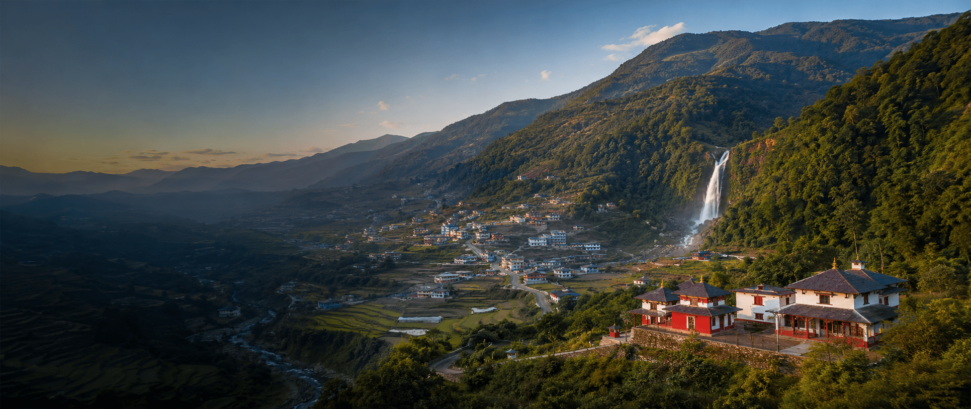
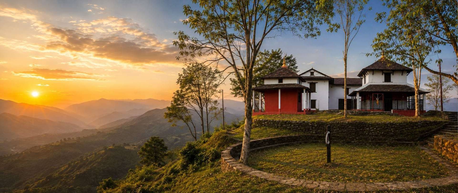
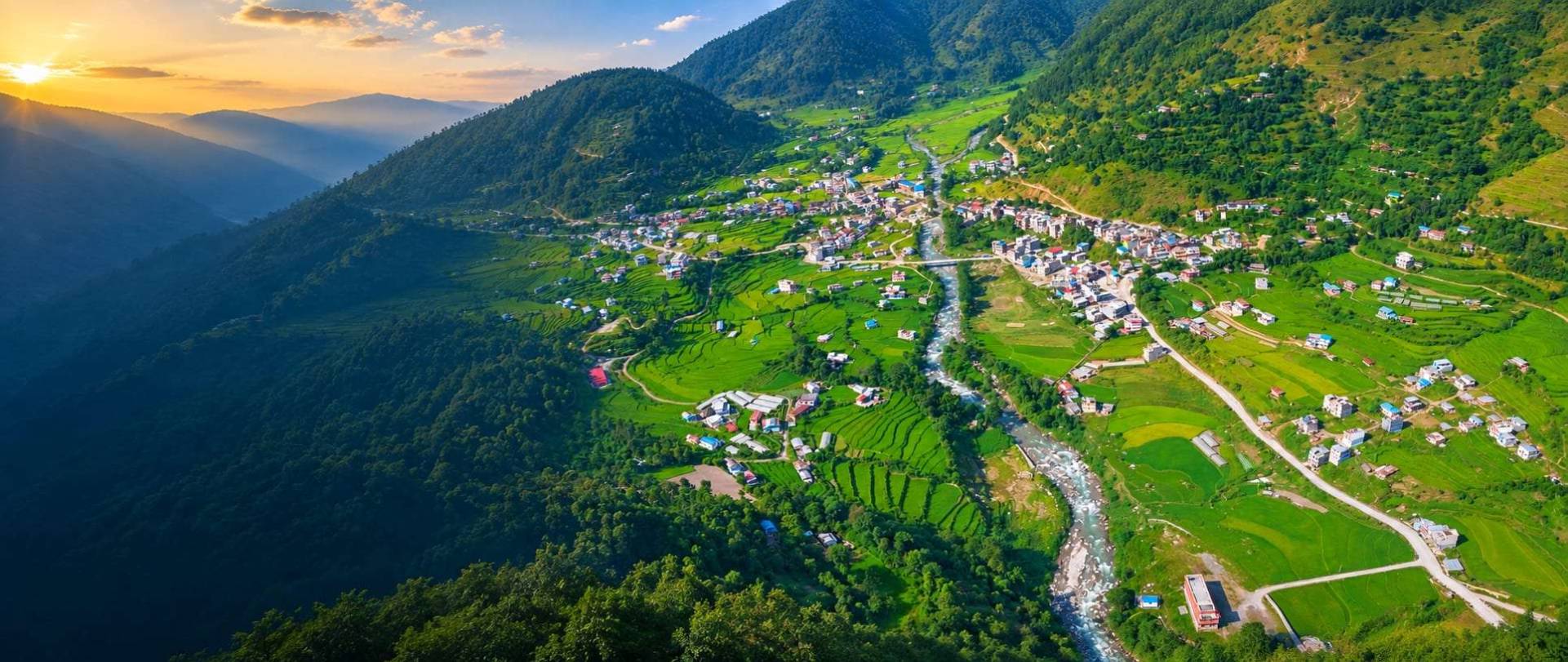
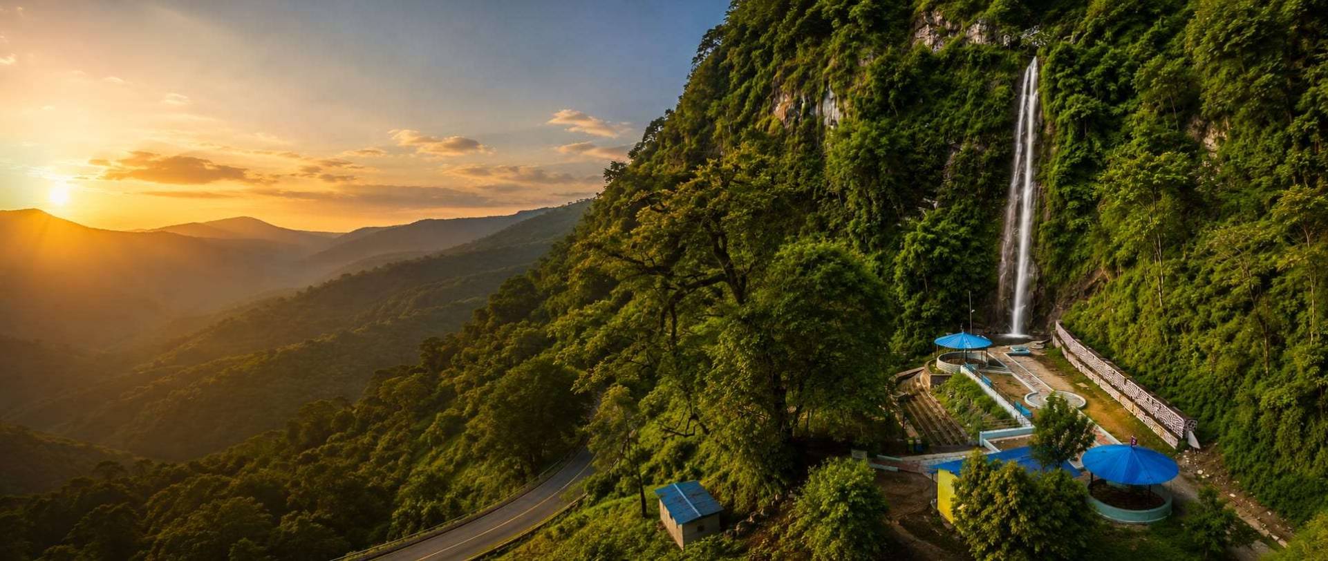
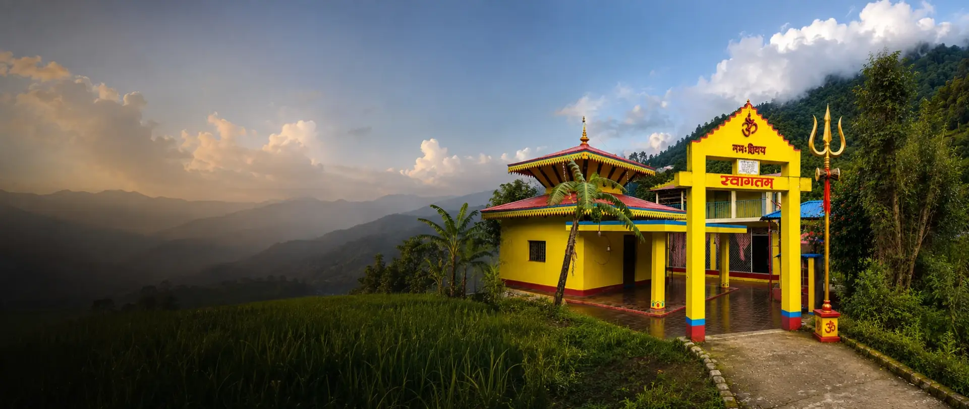
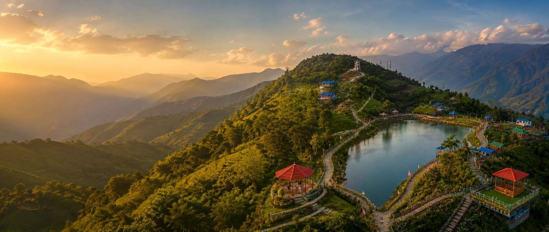
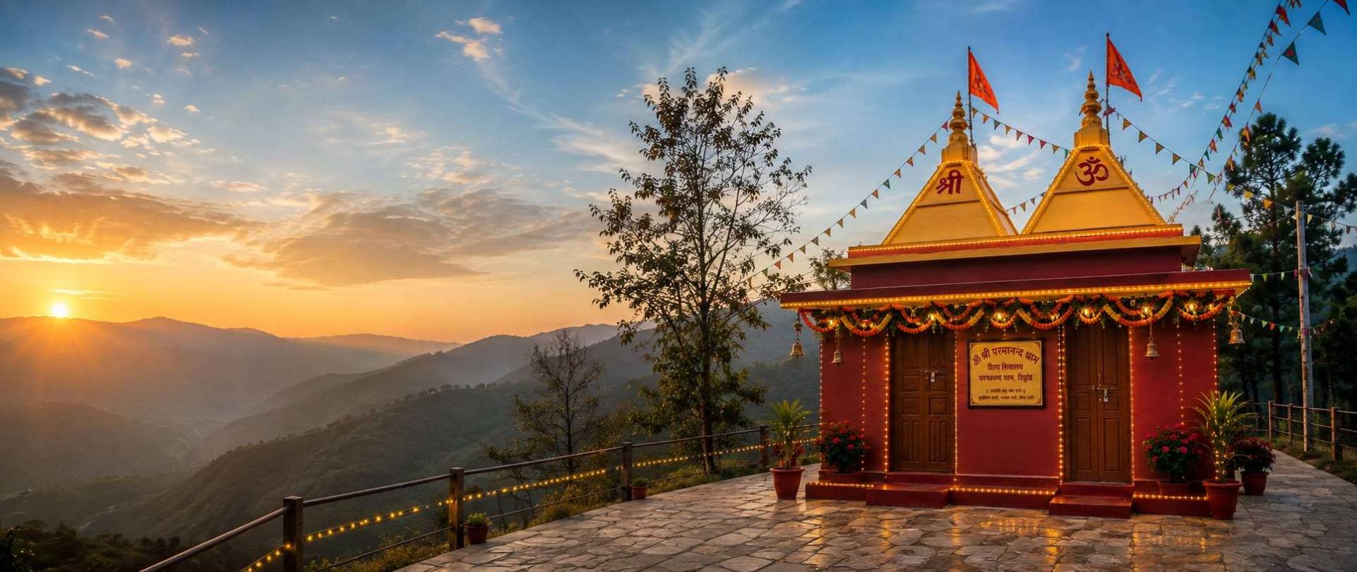
Building a Transparent, Prosperous and Digital Chandrakot Rural Municipality through accountable leadership and citizen participation.


Welcome to Chandrakot Rural Municipality, where tradition, nature, and opportunity come together. With the strength of our people and the potential of our land, we are committed to building a transparent, prosperous, and inclusive future.
By improving agriculture, creating local jobs, strengthening education, upgrading infrastructure, and promoting tourism, we aim to improve the quality of life for every family. Together, we can build a stronger Chandrakot for today and future generations.
– Chandrakot Rural Municipality,
A quick snapshot of the location, people, economy, infrastructure, and opportunities that define Chandrakot Rural Municipality.
| Category & Topic | Comprehensive Details |
|---|---|
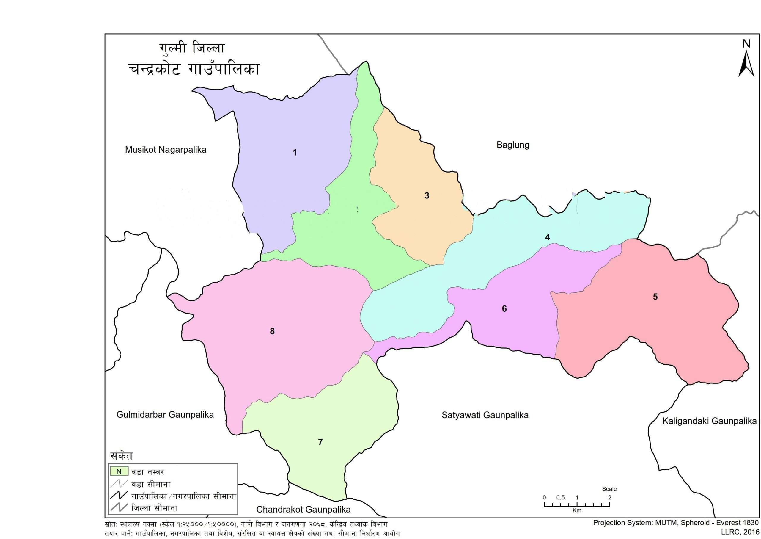
| Official Name & Location | Chandrakot Rural Municipality (चन्द्रकोट गाउँपालिका), located in eastern Gulmi District, Lumbini Province, Nepal (Federal Region No. 5). |
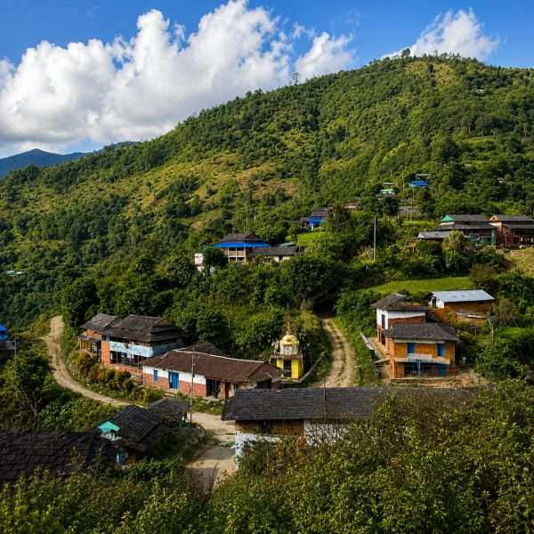
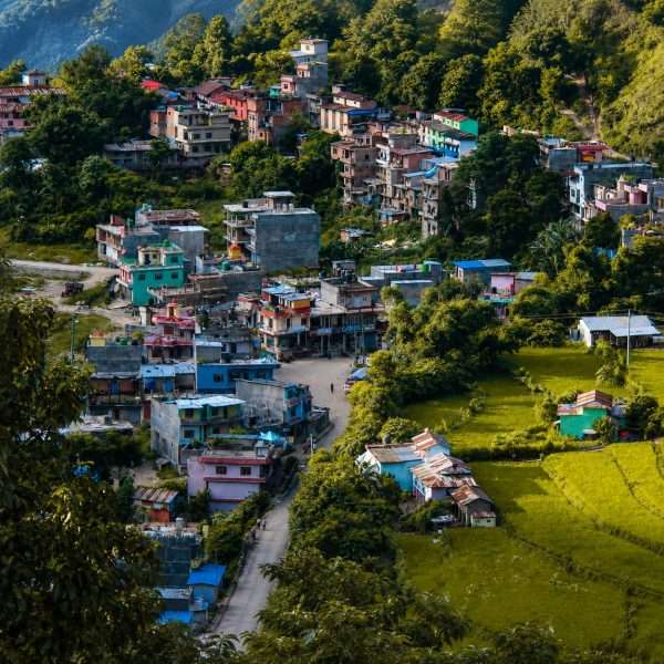
| Headquarters & Wards | Shantipur Bazaar (Ward 4) serves as the administrative and economic center across all 8 wards, namely Dibrung, Bishukharka, Harachaur, Shantipur, Gwagha, Harewa, Rupakot, and Turang. |
| Area & Boundaries | A total area of 105.73 km², bordered by Baglung District to the north, Satyawati and Chhatrakot to the south, Kaligandaki to the east, and Musikot and Gulmidarbar to the west. |
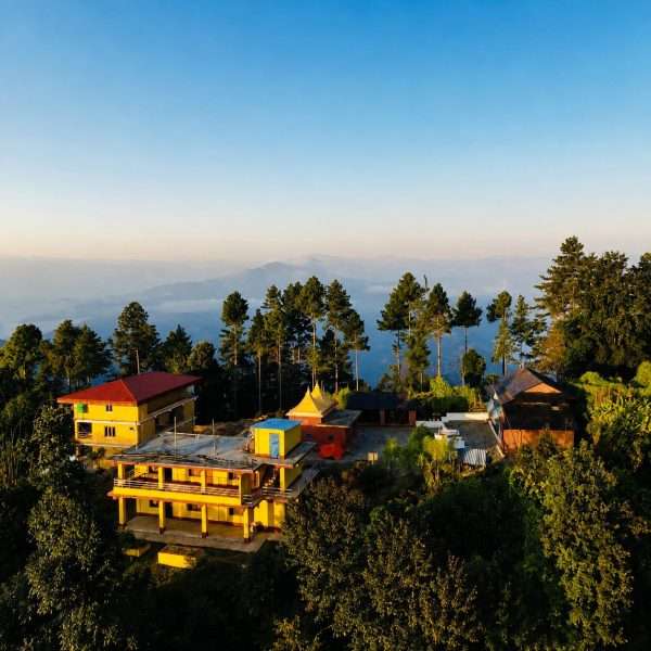
| Geography & Climate | Elevation ranges from 450m in the river valleys to over 2,000m on the hill ridges, with a sub-tropical climate in the river basins and a cool temperate climate in the high ridge villages. |
| Population & Demographics | 18,662 citizens, made up of 8,471 males and 10,191 females, living across 5,029 households. The average household size is 3.71 members, with a population density of 177 people per km². |
| Ethnicity & Culture | A richly diverse community of Magar, Brahmin, Chhetri, Newar, Gurung, and Dalit groups. The primary languages are Nepali, Magar, and Newari, and major folk arts include Sorathi, Maruni, and Salaijo dances. |
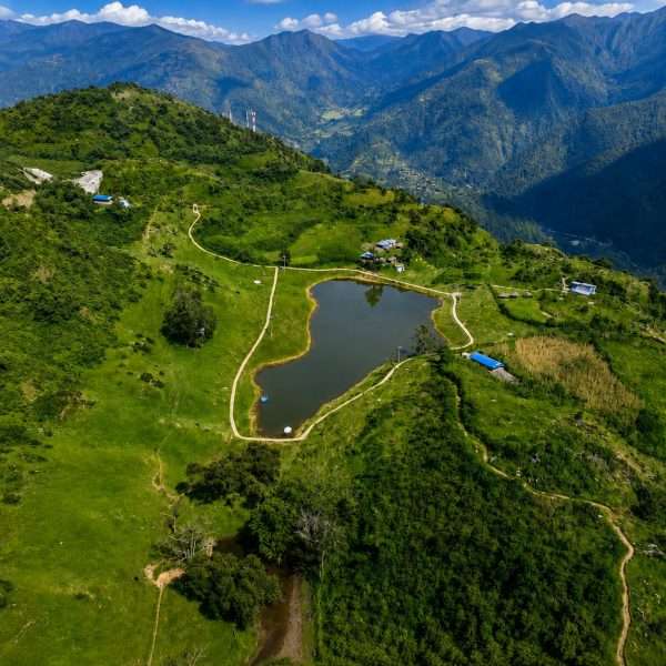
| Major Water Bodies | The Hugdi Khola river valley, Badighat Khola, mountain springs, and natural lakes including Timure Lake and Daha Lake. |
| Agriculture & Livestock | More than 75% of households depend on farming. Major grains include paddy, maize, wheat, and millet, while cash crops include oranges, coffee, ginger, and fresh vegetables, alongside commercial goat, dairy, and poultry farming. |
| Main Market & Economy | Shantipur Bazaar is the primary trade hub. The economy is driven by commercial agriculture, retail trade, livestock, and remittances sent home by workers abroad. |
| Education Infrastructure | 43 schools in total, made up of 40 public and 3 private schools, along with 6 higher secondary schools at the plus two level, and Chandrakot Campus offering university level studies in Shantipur. |
| Healthcare Infrastructure | Municipal health posts operating across all 8 wards, the Shantipur Primary Health Center, basic lab services, and emergency ambulance transport. |
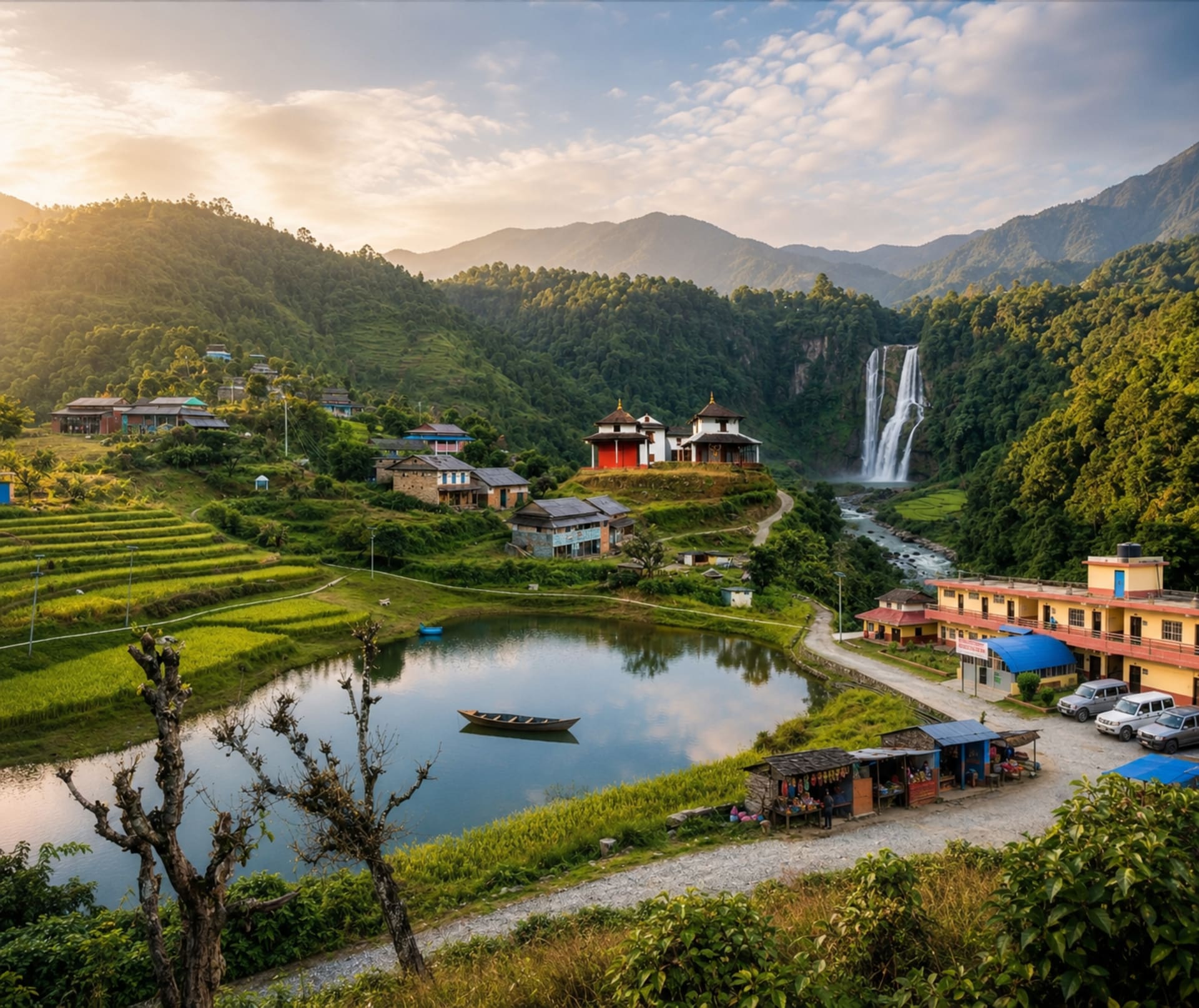
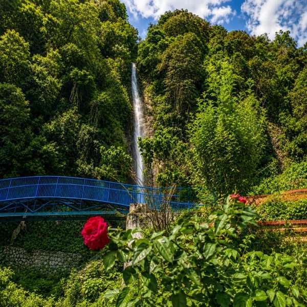
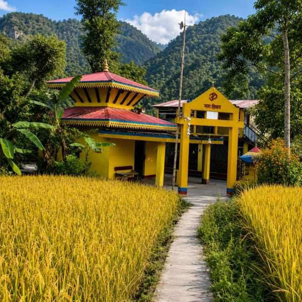
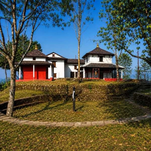
| Tourism Highlights | Chandrakot Temple, a historic hilltop shrine, along with Dibrung Temple, Chakreshwor, Timure Lake, Arjewa Waterfall, Patechaur Picnic Spot, and Rumale Danda, known for its panoramic Himalayan views. |
| Utilities & Connectivity | A motorable dirt and gravel road network connecting all wards to Shantipur, national electricity grid coverage reaching over 95% of households, 4G mobile networks, and expanding fiber internet. |
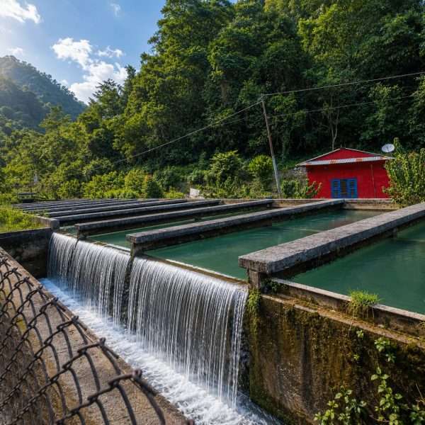
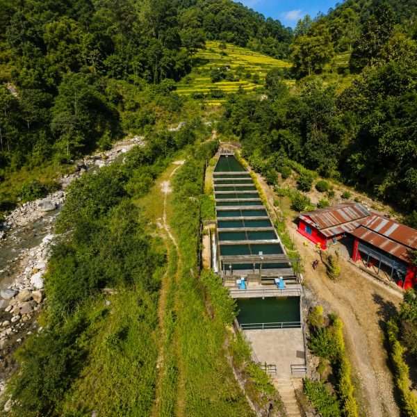
| Key Investment Avenues | Commercial organic coffee, citrus processing, cold storage, goat breeding, eco-tourism homestays, and micro-hydropower development along the Hugdi Khola. |
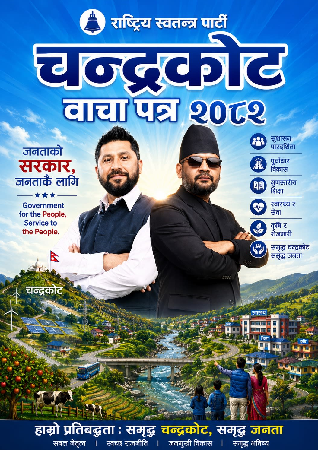
A clear, practical plan to improve daily life across all 8 wards of Chandrakot in the next 100 days — covering water, roads, farming, schools, health, tourism and local jobs. Every action below is a public commitment you can track.
Plan
Problems identified and actions defined for every ward.
Prepare
Sites, budgets and responsible teams confirmed.
Execute
Work carried out and tracked publicly, ward by ward.
Verify
Results checked and reported openly to citizens.
This shows the planned stages for each action — not how much work is already finished.
A simple summary of how the plan touches daily life in Chandrakot.
Faster Services
Clear deadlines for municipal services.
Better Roads & Water
Immediate maintenance, drainage and water-system actions.
Stronger Agriculture
Support for farmers, citrus, coffee, livestock and market access.
Better Schools & Health
Teacher-gap review, medicine tracking and health services.
Cleaner Markets
Waste collection and river protection.
More Transparency
Public project information, audit follow-up and public hearings.
More Local Opportunities
Youth skills, entrepreneurship and employment support.
Safer Communities
Landslide, flood and emergency preparedness.
Each of the 8 wards has its own local priorities within the 100-day plan.
Dibrung
Drinking water, year-round road access, livestock support and migration-related challenges are the main priorities.
Bishukhark
Protecting citrus and orange farms from disease and fruit flies, better forest roads, and improved drinking water.
Harrchaur
Preserving local heritage, improving roads and drainage, and growing new opportunities in citrus and coffee.
Shantipur
Chandrakot's commercial centre — better waste management, traffic control, and flood protection along the river.
Gwagha
Irrigation, stronger cooperatives, and better market access for local farm produce.
Harewa
Repairing irrigation for terrace farms, upgrading health facilities, and creating jobs for young people.
Rupakot
Growing eco-tourism around the cultural site, improving drinking water, and supporting youth-run businesses.
Turang
Protecting riverbanks near Majuwa, improving drainage, and upgrading school infrastructure.
Ready to see every action?
Explore all 100 planned actions across six key development sectors, explained in simple language.
One team for a stronger, more transparent, and prosperous Chandrakot.



Citizen Services
Easily access information regarding various services provided by the Gaunpalika and Ward Offices.
The news about recent activities in Chandrakot Rural Municipality